How to fish an inlet jetty for striped bass
Read the current edge, choose an upstream cast and control the lure through it. A practical guide to inlet jetties, close rock edges and changing flow.
Built for striped bass. StripedLines reads the tide, current, water temperature, depth and light on your water and shows you the best time to go and the spots to try, Maine to New Jersey.
 Sign up free
Sign up before launch and keep the founding price for as long as you subscribe.
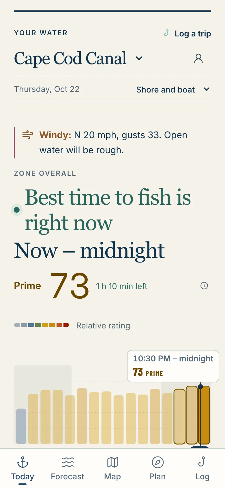
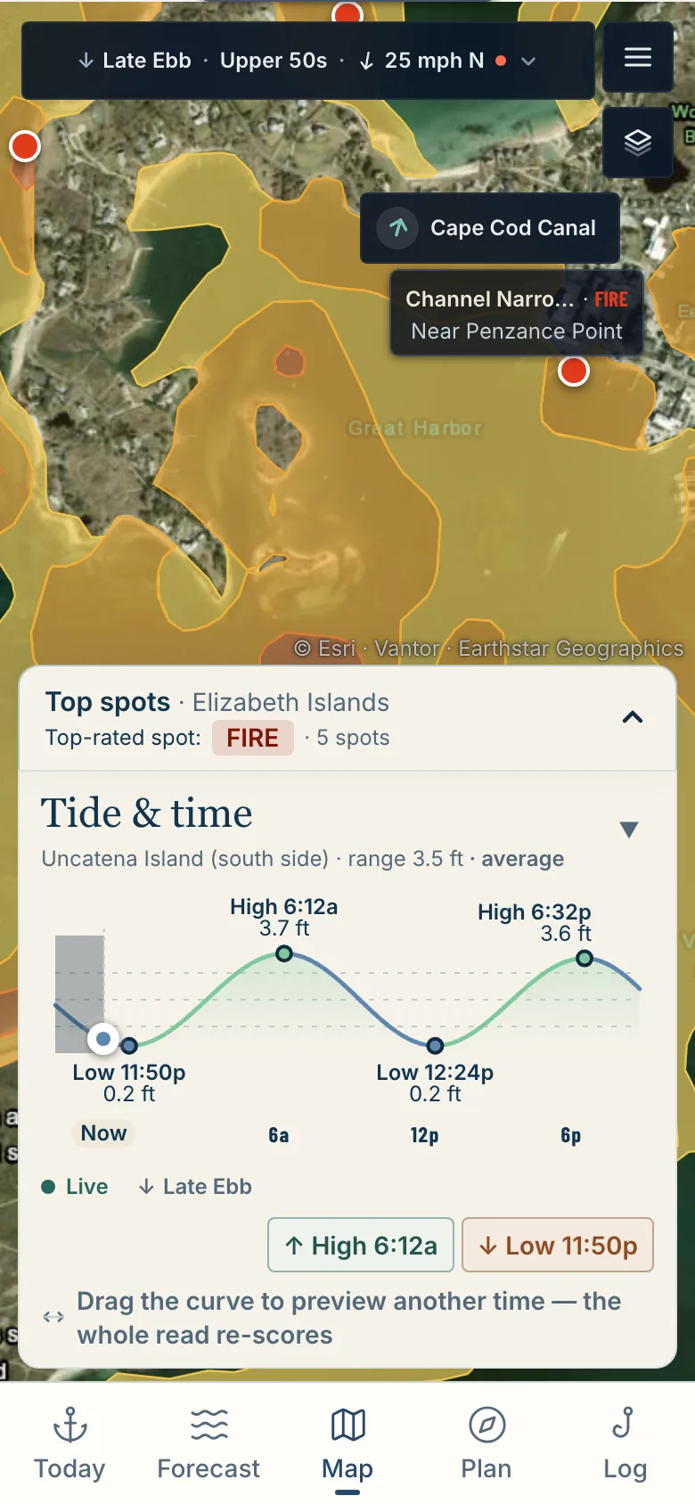
Spots are rated from Dead to Fire over satellite imagery. Drag through the day and the ratings move with the tide.
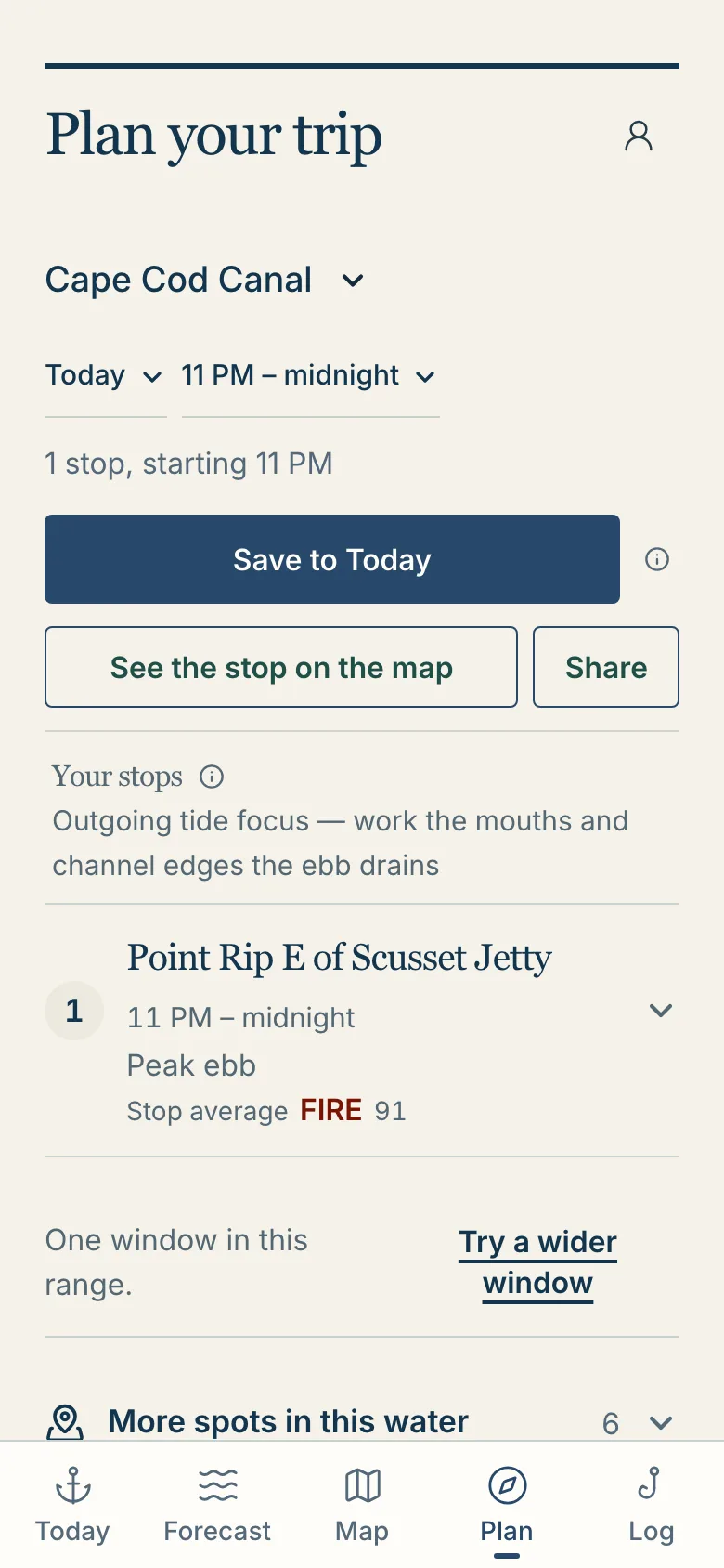
Pick your window and it lays out the stops in order, around the tide. When nothing is worth the trip, it says so.
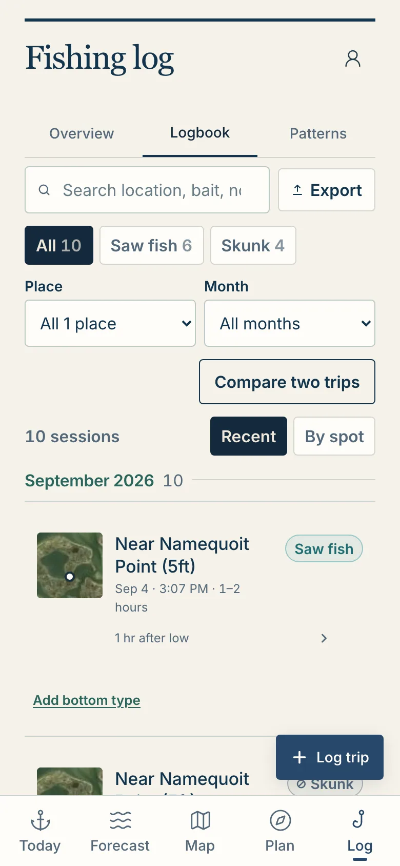
Log a trip and the tide, water, wind and light are saved with it, so you can look back at what the water was doing. Nobody else sees your log.
1,286,859 spots rated across 121 tidal zones
Southern Maine, the New Hampshire seacoast, Massachusetts and Cape Cod, Rhode Island, Connecticut, Long Island and the New Jersey shore.
Fish somewhere else? Sign up anyway: setup asks where you fish, and the water anglers name decides what we add next.
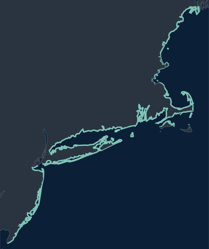
It is free to sign up. Accounts made before launch keep the founding price for as long as they subscribe.
Maine to New Jersey: southern Maine, the New Hampshire seacoast, Massachusetts and Cape Cod, Rhode Island, Connecticut, Long Island and the New Jersey shore. New York Harbor, the Hudson and Delaware Bay are not covered yet. Fish somewhere else? Sign up anyway: setup asks where you fish, and the water anglers name decides what we add next.
It will not promise you a fish. It ranks the water in front of you and tells you how sure it is about the conditions. The fishing is still yours.
Each spot and hour is rated in five tiers, in the app’s own colors:
A rating ranks the options in front of you against each other. It is not a probability and not a chance of catching a fish.
Public sources: NOAA tide and current predictions and gauges, satellite water temperature, offshore buoys, weather forecasts and nautical charts. When a reading is estimated rather than measured on your water, the app says so.
Yes. Your trips, catches, photos and saved spots are yours. They are not shared with other anglers, not used to recommend your water to anyone else, and not sold.
It runs in your phone’s browser on iPhone and Android. Add it to your home screen and it opens like an app.
Already have an account? Sign in.
Add StripedLines as a preferred source on GoogleRead the current edge, choose an upstream cast and control the lure through it. A practical guide to inlet jetties, close rock edges and changing flow.
Menhaden feed striped bass, ospreys and other coastal predators. Food-stress research and missed ecosystem targets make a strong case for precautionary protection.
Follow a little marsh fish through the tide, habitat loss and a New Jersey restoration. Mummichogs connect overlooked feeding grounds to striped bass, but their story is local, not a proven coastwide collapse.